


Hurricane Matthew Leaves Southern Haiti an Isolated Disaster Zone
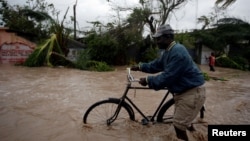
A man pushes a bicycle in a flood zone after Hurricane Matthew passed through Les Cayes, Haiti, Oct. 4, 2016.
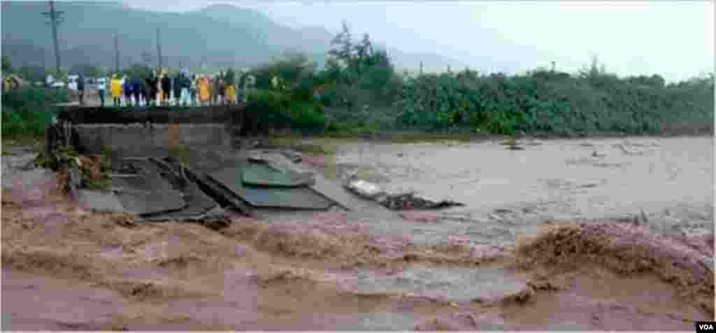
Southern Haiti is an isolated disaster zone after Hurricane Matthew tore across the island Tuesday, destroying power and telephone lines, and washing away the only bridge connecting the peninsula to the rest of the country.
Communications between the capital and three provinces are nonexistent, making it impossible for authorities and emergency workers to know the number of casualties and damage details.
VOA Creole reporter Jean-Hernst Eliscar says many houses in the southern city of Les Cayes are flooded and have no roofs.
In Pictures: Hurricane Matthew
Hurricane Matthew Makes Landfall in Haiti

1/15Residents wade through flood waters in Leogane, Haiti, Oct. 4, 2016
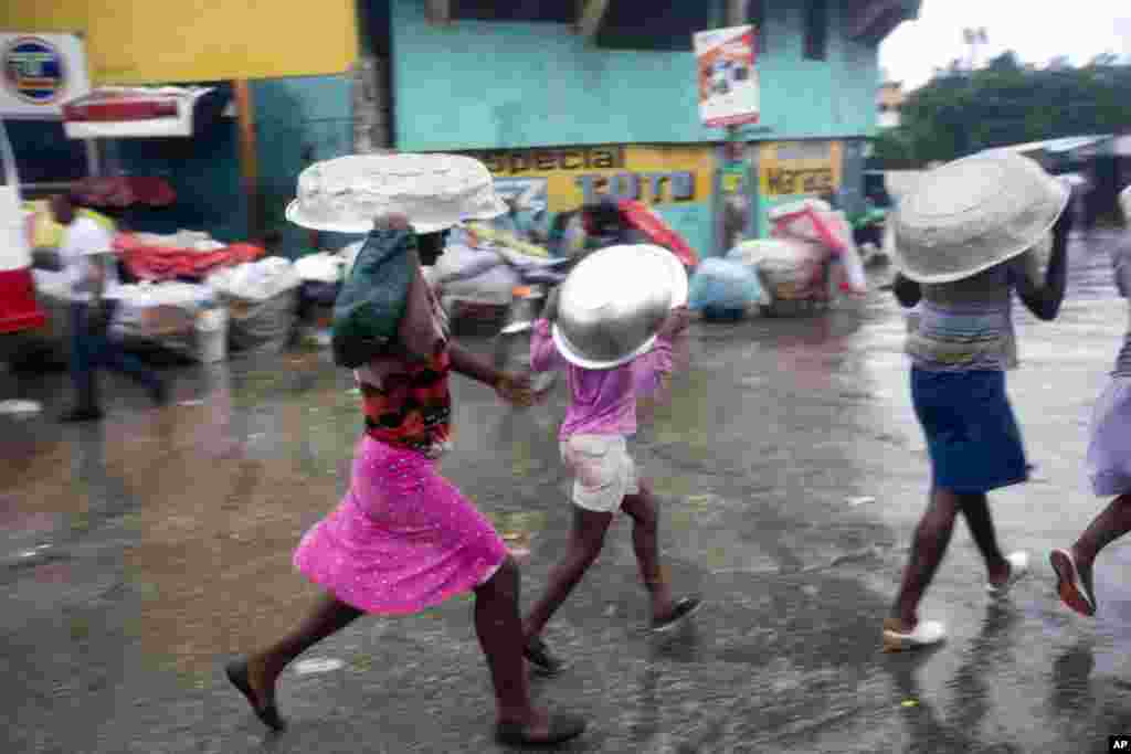
2/15Women cover their heads with pans as they walk in a light rain brought by Hurricane Matthew in Port-au-Prince, Haiti, Oct. 4, 2016. Hurricane Matthew roared into the southwestern coast of Haiti, threatening a largely rural corner of the impoverished country with devastating storm conditions as it headed north toward Cuba and the eastern coast of Florida.
3/15A bridge that collapsed in the city of Petit Goave, Haiti, Oct. 4, 2016. That prevents vehicles from accessing the southern part, the Nippes region and Southwestern region. (F. Lisne/VOA)
4/15A Gas Station roof collapsed in the city of Miragoane in the Nippes region, Haiti, Oct. 3, 2016. (F. Lisne/VOA)
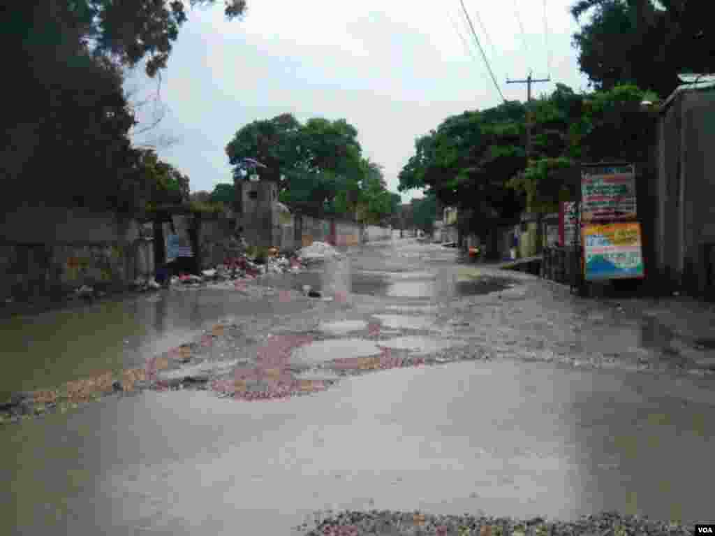
5/15Picture showing water on the street of Clercine near Port-au-Prince, Haiti, Oct. 4, 2016. (F. Lisne/VOA)
6/15Picture taken this midday showing Carrefour Vincent in Sarthe on National Highway 1, Haiti, Oct. 4, 2016. (F. Lisne/VOA)
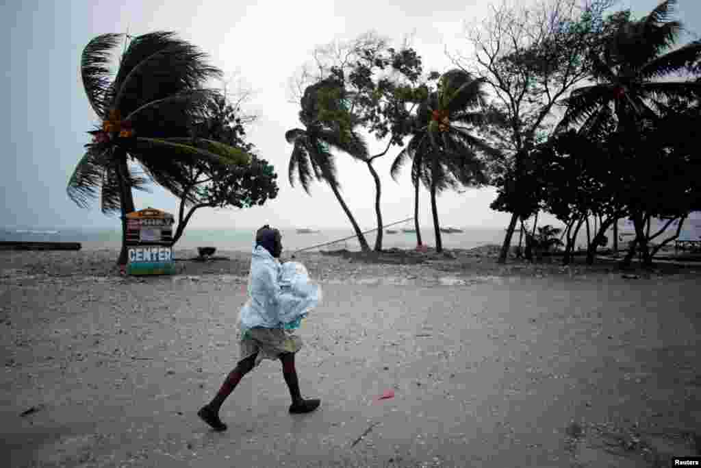
7/15Wind blows coconut trees during the passage of Hurricane Matthew in Port-au-Prince, Haiti, Oct. 4, 2016.
8/15A girl watches as authorities arrive to evacuate people from her house in Tabarre, Haiti, Oct. 3, 2016.
9/15Civil protection workers asks residents to evacuate their homes located near the the Grise river, in Tabarre, Haiti, Oct. 3, 2016.
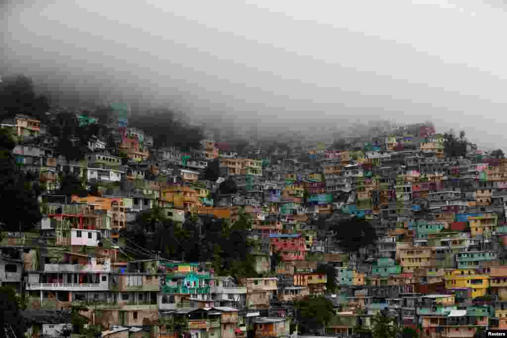
10/15A general view as Hurricane Matthew approaches Port-au-Prince, Haiti, Oct. 3, 2016.
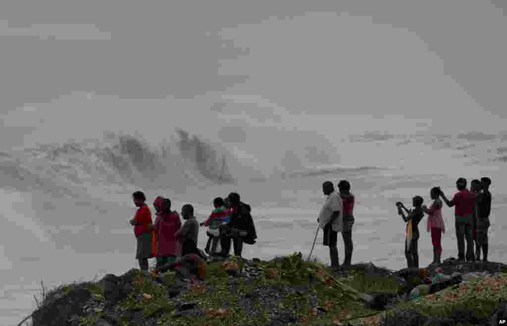
11/15People stand on the coast watching the surf produced by Hurricane Matthew, on the outskirts of Kingston, Jamaica, Oct. 3, 2016.
12/15The GOES East satellite captured this image of Hurricane Matthew, currently located about 220 miles southeast of Kingston, Jamaica, Oct. 3, 2016. Matthew is expected to bring tropical storm-force winds, heavy rain, and dangerous surf to Jamaica, Haiti, Cuba over the next few days.
13/15A woman protects herself from rain as Hurricane Matthew approaches in Les Cayes, Haiti, Oct. 3, 2016.
14/15Civil protection workers walk in to evacuate residents from the Grise river area, prior the arrival of Hurricane Matthew, in Tabarre, Haiti, Oct. 3, 2016. The center of Hurricane Matthew is expected to pass near or over southwestern Haiti on Tuesday, but the area is already experiencing rain from the outer bands of the storm.
15/15A man is carried to a shelter ahead of Hurricane Matthew in Guantanamo, Cuba, Oct. 3, 2016.
Previous slide
Next slide
Matthew, a powerful Category 4 storm, slammed into Haiti on Tuesday with winds of 230 kilometers per hour and fierce rain.
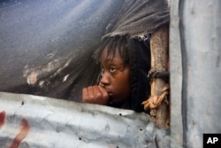
A girl watches as authorities arrive to evacuate people from her house in Tabarre, Haiti, Oct. 3, 2016.
Mourad Wahba, U.N. deputy special representative for the U.N. Stabilization Mission in Haiti, said in a statement Tuesday that Hurricane Matthew has caused the biggest humanitarian crisis in Haiti since the 2010 earthquake, which killed more than 225,000 people. He said at least 10,000 people are in shelters.
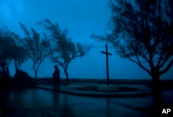
The high winds and rain of Hurricane Matthew roar over the waterfront of Baracoa, Cuba, Oct. 4, 2016.
At least two deaths are reported, and residents in the Western Hemisphere's poorest country can hardly afford any more misery.
As much as 102 centimeters (40 inches) of rain is expected in some areas before the storm pulls away, increasing the risk of deafly floods and mudslides.
Fresh drinking water, safe shelter and sanitization will also be major challenges when cleanup begins.
Matthew struck Haiti after roaring across the Dominican Republic, where at least four deaths are reported.
The National Hurricane Center in Miami calls Matthew "extremely dangerous" and predicts it will remain a "powerful storm" at least through Thursday.
By late Tuesday, the center said the eye of the hurricane had made landfall near the eastern tip of Cuba.
Hurricane warnings are posted for eastern Cuba and much of the Bahamas.
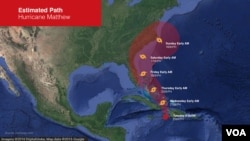
Probable path of Hurricane Matthew
Hurricane watches are already out for parts of Florida, with Matthew expected to strike the U.S. East Coast by the end of the week.
Florida Gov. Rick Scott has already declared a state of emergency, warning residents to prepare for the worst.
Georgia Gov. Nathan Deal has declared states of emergency in 13 coastal counties, and South Carolina's Nikki Haley is calling for more than 1 million residents to get ready to evacuate.
South Carolina's Gov. Nikki Haley warned more than 1 million residents to prepare to evacuate. She said if the track of the hurricane does not change by Wednesday, she will issue an evacuation order for people to move away from the coast.
Matthew is the strongest hurricane to tear through the Atlantic and Caribbean Sea since Hurricane Felix in 2007.
The Voice of America provides news and information in more than 40 languages to an estimated weekly audience of over 326 million people. Stories with the VOA News byline are the work of multiple VOA journalists and may contain information from wire service reports.