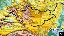
A powerful earthquake has shaken the area around Tibet in China.
The U.S. Geological Survey says the quake had a 6.9 magnitude and was centered about 245 kilometers north of Qamdo prefecture, which borders China's Sichuan province.
At least one strong aftershock with a 5.2 magnitude struck about 30 minutes later.
There were no early reports about damage or injuries.
A massive 7.9 quake hit Sichuan province in 2008, killing close to 90,000 people.
Some information for this report was provided by AP and AFP.


